The Houses of Painswick
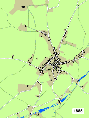
The animated map (left) shows Painswick how Painswick has grown since 1885.To follow the changes at your own pace, click here
I have based the growth on maps, electoral registers, aerial photographs and Painswick residents letting me know details of their houses/streets. There are limitations on the accuracy of many of the sources (and my interpretation), so if you see something not quite right or you would like to share information you have, please get in touch.
Peter Rowe (tel 813228)
For more details on the houses in each road, please click here.
If you are not sure where a particular road is, please click here.